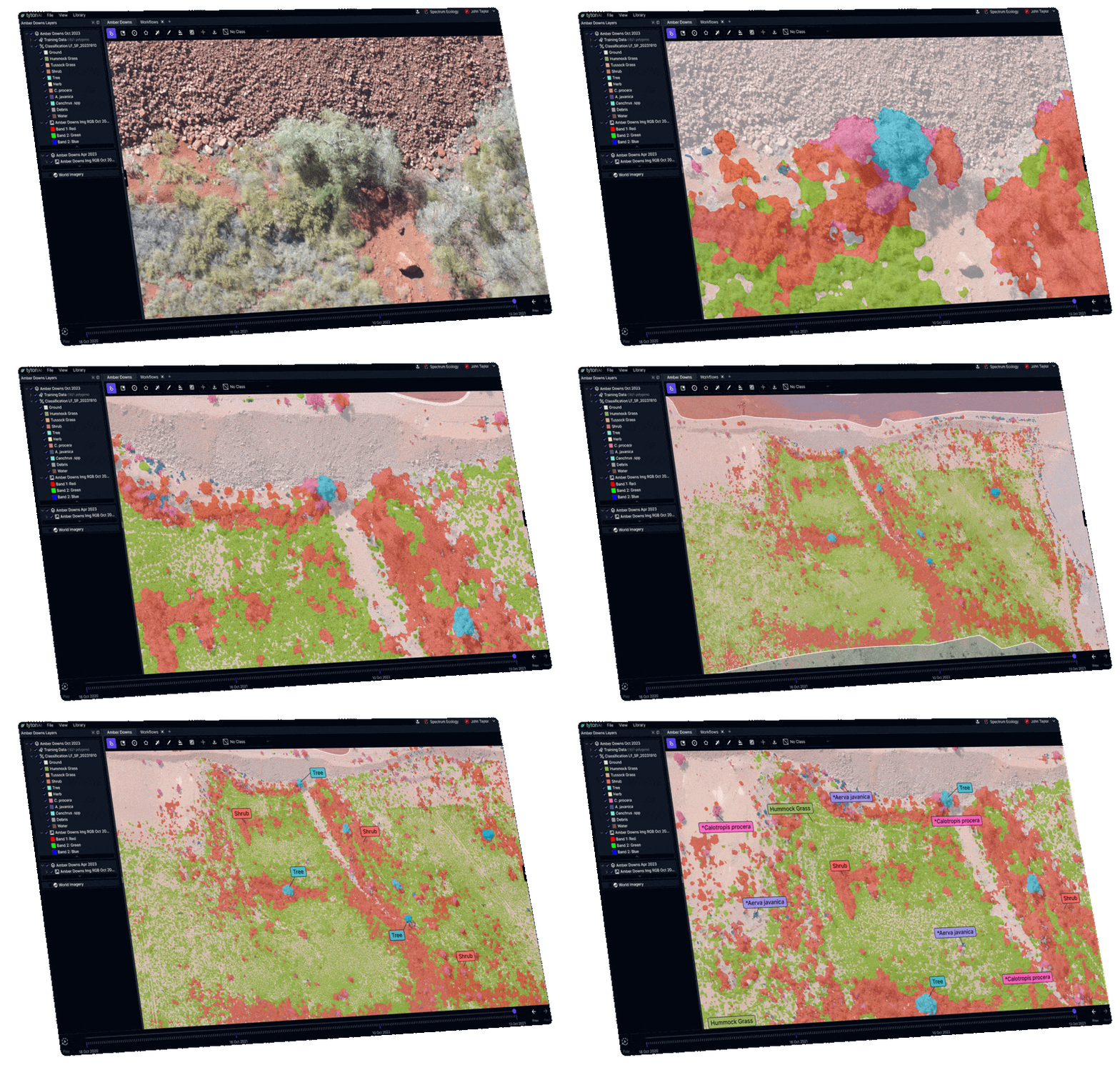

Developed for use in mining, natural resource management, carbon, and biodiversity markets, TytonAI empowers ecologists around the world to utilise machine learning for better environmental outcomes.
Accurately and economically detect individual plants across entire landscapes for rehabilitation and vegetation condition monitoring, whole-of-site weed detection, targeted species searches, and carbon quantification monitoring in diverse systems.

TytonAI is a web-based platform containing customised toolsets and workflows, built specifically for the unique challenge of classifying vegetation and landscape elements, including trees, shrubs, grasses, herbs, individual species of interest, and erosion features.
Reduce error and identify risks with consistent, repeatable, whole-of-site remote sensing assessments.
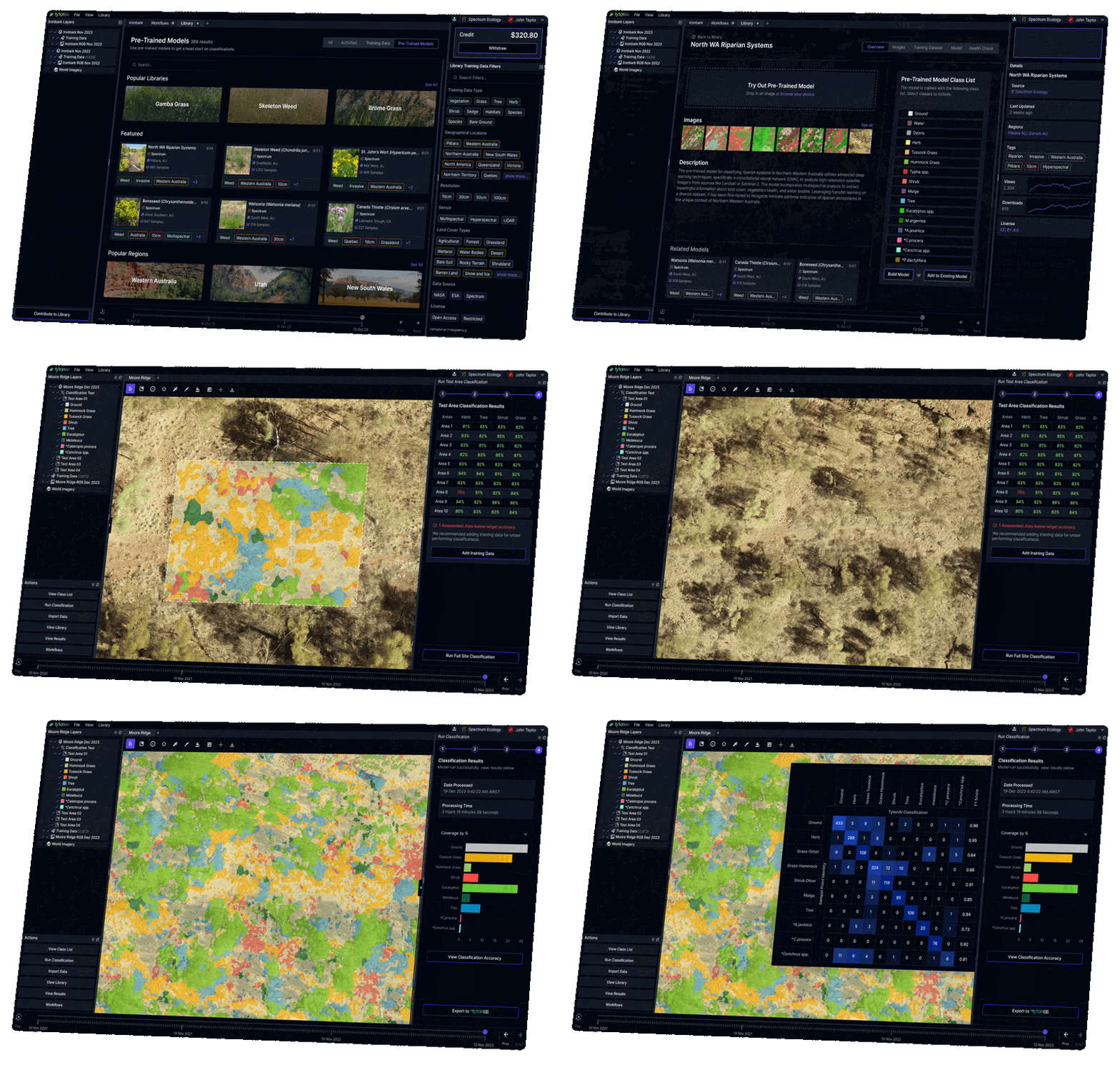
Built on billions of pixels of training data and powered by extensively trained “mega models,” TytonAI makes using Machine Learning simple.
Use our mega-models, select from our ever-growing library of species-specific signatures, or easily develop your own signatures using our suite of in-built tools and be rewarded for contributing them to our community library.

Trusted by

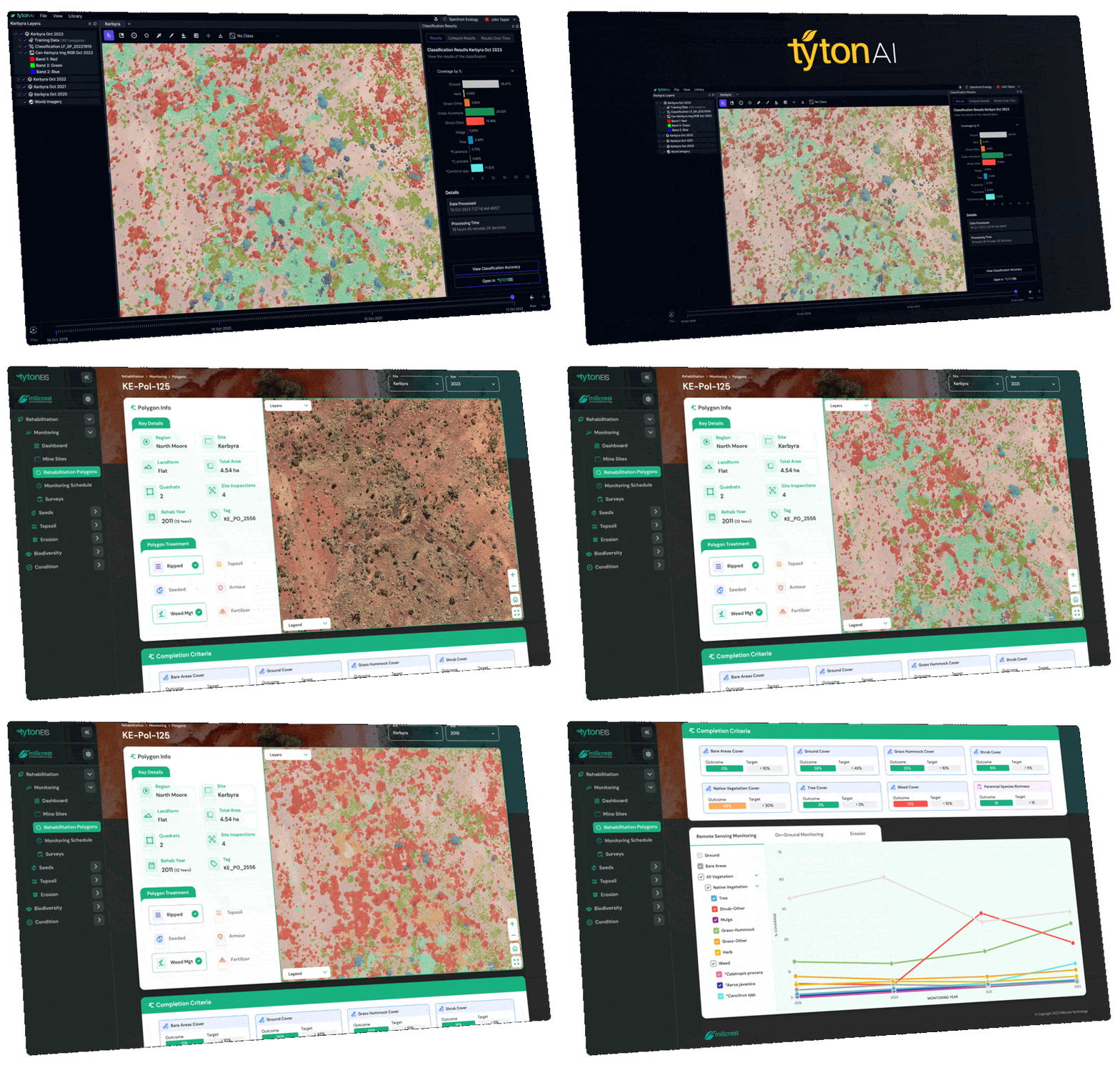
Perform one-time classifications and view results in TytonAI, or seamlessly export to TytonEIS for time series analyses and advanced analytics, detecting trends, identifying risks, and reporting to stakeholders.
Traditionally, transects or quadrats have been used to conduct on-ground monitoring. While the sample is a small fraction (~1%) of the total area, it’s often assumed that this sample accurately represents the remaining 99%. These methods are made more unreliable by human estimations, which can hold variance of up to 20%.
Using consistent, quantitative, whole-of-site, machine learning analyses, Tyton AI removes sampling errors associated with traditional on-ground monitoring.
The result – better information, clearer trends, and more informed, accurate decision making.
Capture aerial data.
Complete ground truthing survey.
Use TytonAI to automatically classify lifeforms, and target genera/species. Perform accuracy assessment.
Generate key metrics / measurements and data analysis.
Make data and reporting available to client.
Tyton AI and EIS work together by delivering an advanced whole-of-site study that provides valuable insights into ecological function, and informs ongoing decision-making to enable organisations to successfully monitor and care for the environment.
Contact Details
Quick Links
Contact Details
Quick Links