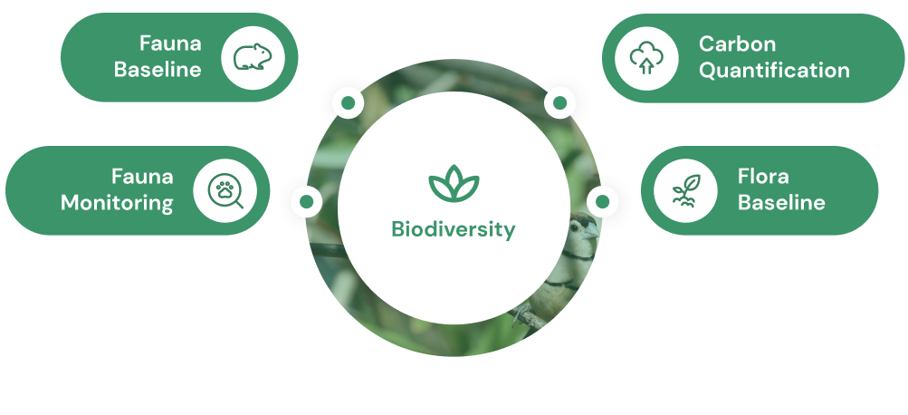
Our Biodiversity suite of solutions includes modules for flora & vegetation, and fauna baseline data, fauna monitoring data, and carbon quantification. Where applicable, these modules integrate with other packages/modules to provide environmental managers with a holistic, single source of the truth.
Store and visualise all baseline fauna data, from regional to multi-mine/multi-region scale.
Quantify fauna observations, on-ground survey data, and regional map products.
Easily add new survey data to update regional vegetation community map products.
Integrate baseline fauna data with other Tyton EIS modules to inform completion criteria, identify key drivers impacting populations, and more.
Utilise baseline fauna data for advanced analyses, including habitat mapping and species distribution modelling (SDM), and home range analysis.
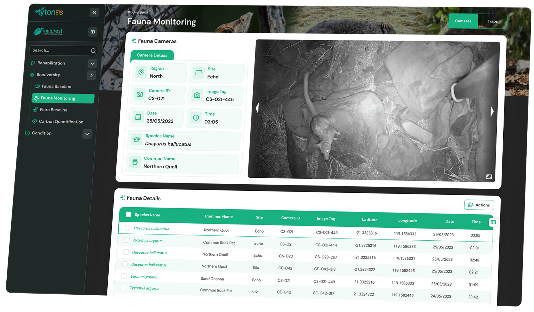
Query fauna observations, trapping data.
Track occupancy modelling, predator-prey interactions, etc.
Easily add new survey data to update regional habitat mapping products.
Integrate fauna monitoring data with other Tyton EIS modules to inform completion criteria, identify key drivers impacting populations, and more.
Utilise baseline fauna data for advanced analyses, including habitat mapping and species distribution modelling (SDM).
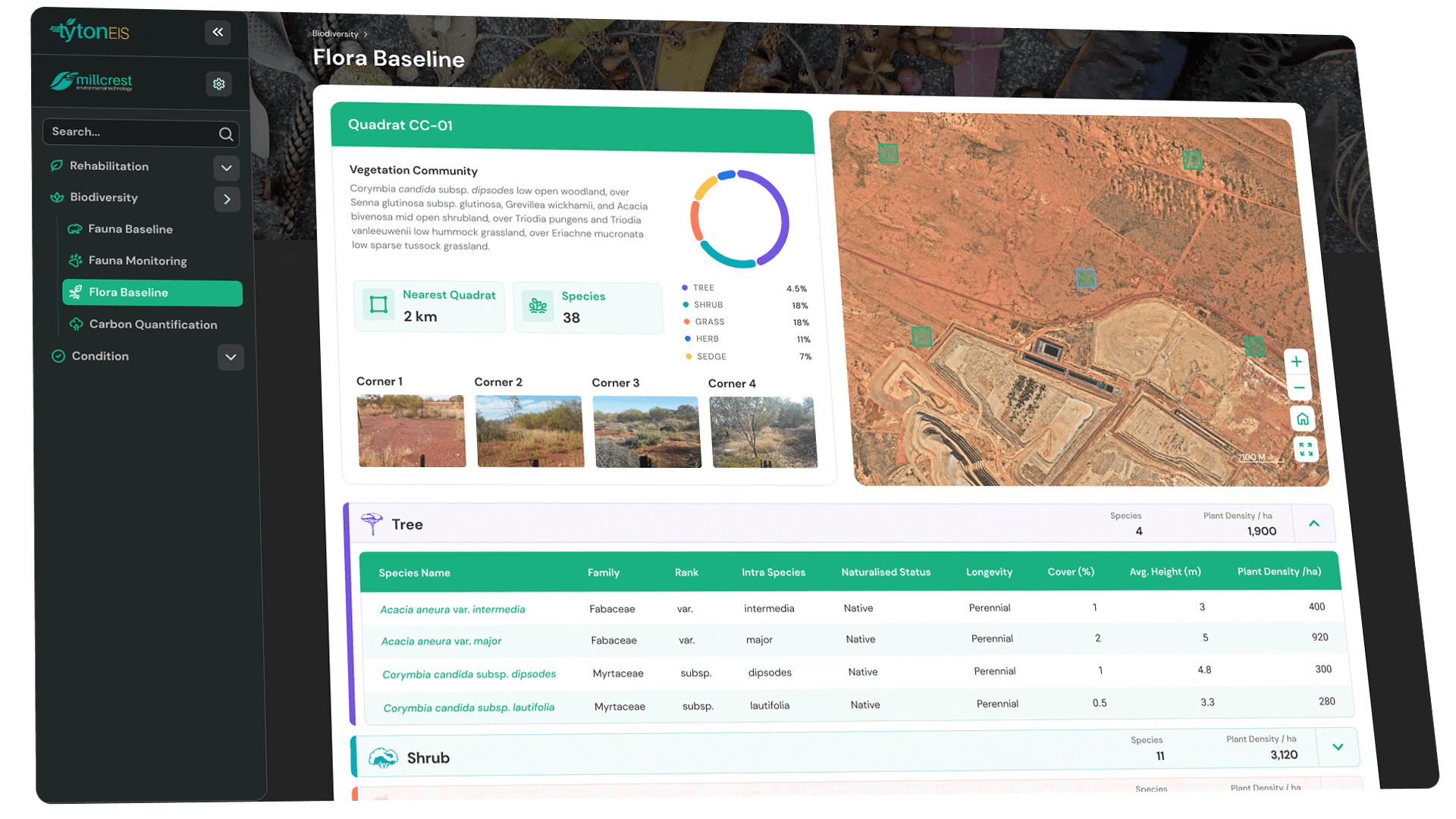
Store and visualise all baseline flora and vegetation data, from regional to multi-mine/multi-region scale.
Query flora observations, on-ground survey data (relevé, transect, quadrat) and regional map products.
Easily add new survey data to update regional vegetation community map products.
Integrate baseline flora and vegetation data with other Tyton EIS modules to inform completion criteria, seed mix composition, and more.
Utilise baseline flora and vegetation data for advanced analyses, including habitat mapping and species distribution modelling (SDM).
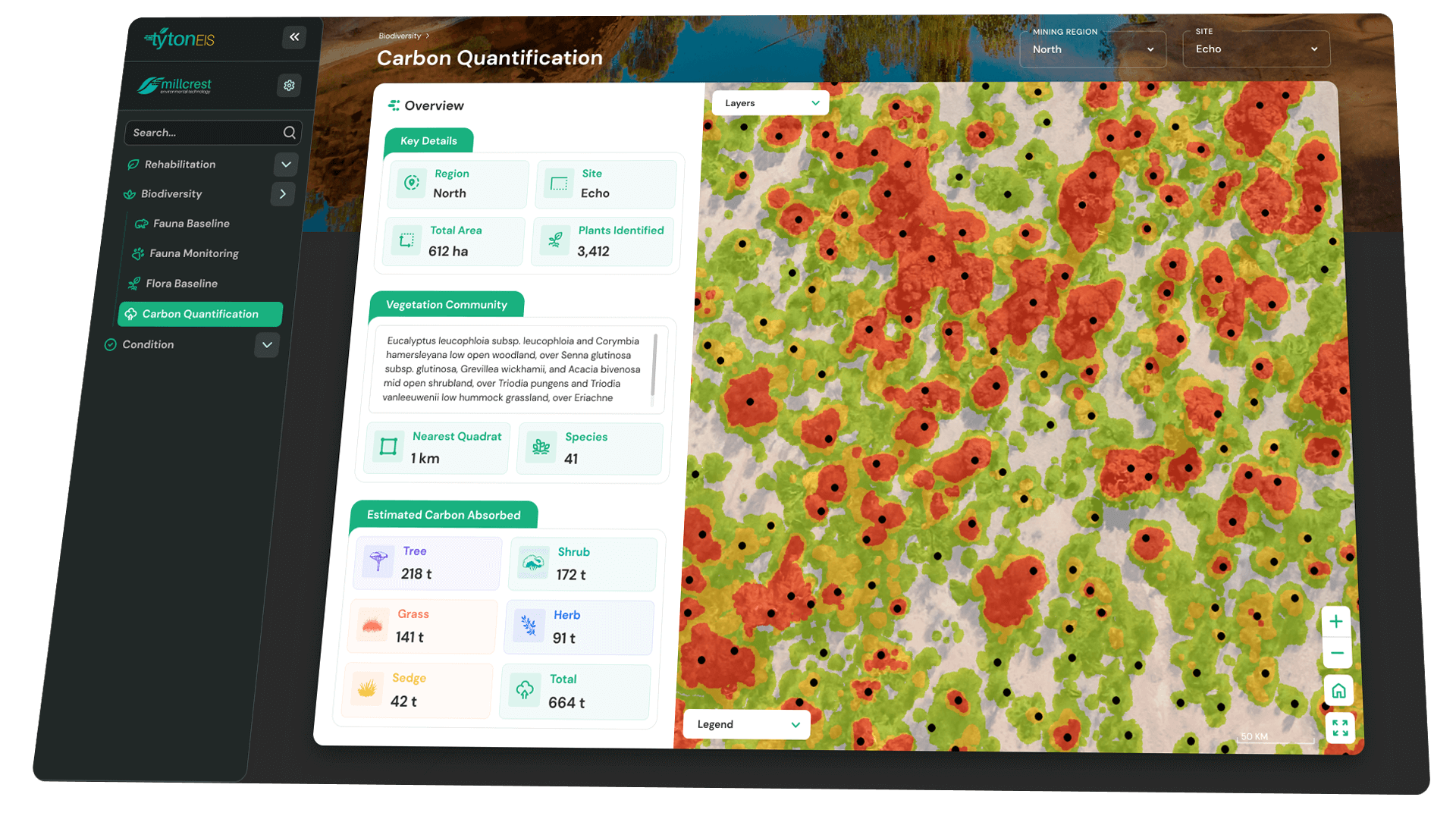
Store and visualise all flora and vegetation data for your carbon AOI.
Track structure quantification, stem counts, and carbon estimation.
Infer biodiversity and quantify carbon in biodiverse landscapes.
Query remote sensing and on-ground survey data and quantify change in estimated carbon stocks.
Integrate ancillary environmental data to understand vegetation community dynamics and predict sequestration trajectories.

Assess and monitor large-scale rehabilitation sites with the highest level of accuracy.

Get a single source of truth across your flora, fauna, vegetation and carbon data.
Trusted by
Tyton AI and EIS work together by delivering an advanced whole-of-site study that provides valuable insights into ecological function, and informs ongoing decision-making to enable organisations to successfully monitor and care for the environment.
Working hand in hand with organisations, we specialise in a future-forward approach to drive the most optimal outcomes for your environmental projects.
Contact Details
Quick Links

Contact Details
Quick Links