
Tyton Partner Program
Building a world-class ecological intelligence network.
Building a world-class ecological intelligence network.
Tyton Ecological Intelligence (TytonEI) is using
state-of-the-art AI to transform ecosystem monitoring. We
believe that delivering reliable, actionable ecological insights
at scale works best through a trusted network of regional
experts, empowered with new capabilities to provide
cost-effective ecological intelligence to their clients.
By joining our Partners Program,
members gain access to new business opportunities and
co-branding benefits, supported by comprehensive training,
helpdesk assistance, and targeted digital marketing to drive
ongoing demand for their services.
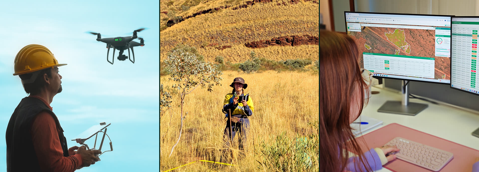
Licensed drone operators and manned aerial survey specialists
Capture and deliver reliable aerial data (RGB, multispectral, LiDAR) to generate accurate ecological outputs in TytonAI and TytonIQ, and introduce Tyton to your existing clients.
Ongoing, repeat demand for aerial surveys from TytonEI clients
Access to technical guidelines and support for standardised data capture
Opportunities for collaborative marketing and shared project leads
Benefit from ongoing, targeted digital marketing to drive demand for your services
Featured listing on TytonEI’s website
Licensed drone operators and manned aerial survey specialists
Capture and deliver reliable aerial data (RGB, multispectral, LiDAR) to generate accurate ecological outputs in TytonAI and TytonIQ, and introduce Tyton to your existing clients.
Ongoing, repeat demand for aerial surveys from TytonEI clients
Access to technical guidelines and support for standardised data capture
Opportunities for collaborative marketing and shared project leads
Benefit from ongoing, targeted digital marketing to drive demand for your services
Featured listing on TytonEI’s website

Licensed drone operators and manned aerial survey specialists
Capture and deliver reliable aerial data (RGB, multispectral, LiDAR) to generate accurate ecological outputs in TytonAI and TytonIQ, and introduce Tyton to your existing clients.
Ongoing, repeat demand for aerial surveys from TytonEI clients
Access to technical guidelines and support for standardised data capture
Opportunities for collaborative marketing and shared project leads
Benefit from ongoing, targeted digital marketing to drive demand for your services
Featured listing on TytonEI’s website
Licensed drone operators and manned aerial survey specialists
Capture and deliver reliable aerial data (RGB, multispectral, LiDAR) to generate accurate ecological outputs in TytonAI and TytonIQ, and introduce Tyton to your existing clients.
Ongoing, repeat demand for aerial surveys from TytonEI clients
Access to technical guidelines and support for standardised data capture
Opportunities for collaborative marketing and shared project leads
Benefit from ongoing, targeted digital marketing to drive demand for your services
Featured listing on TytonEI’s website